At Geo2X, we thrive on new challenges. A brief chat is often the most effective way to explore how our services can benefit you. Don't hesitate to reach out!
At Geo2X, we thrive on new challenges. A brief chat is often the most effective way to explore how our services can benefit you. Don't hesitate to reach out!
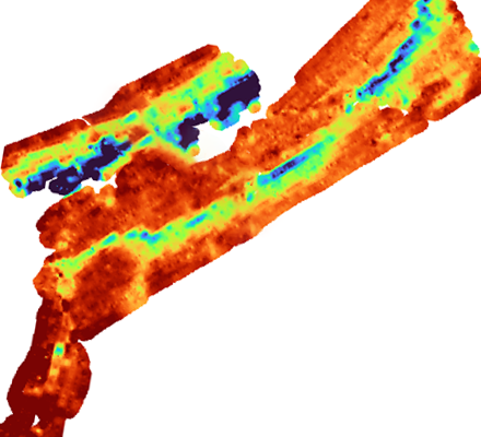
Electromagnetic technology makes it possible to measure conductivity in the ground without having to install sensors in the field. With this inductive measurement method, surveys can be carried out in most geological terrains, even on highly resistant surface layers such as sand, gravel and asphalt. EM can be used to map variations in geological layers, contaminated soils and any surface characterized by changes in soil conductivity.
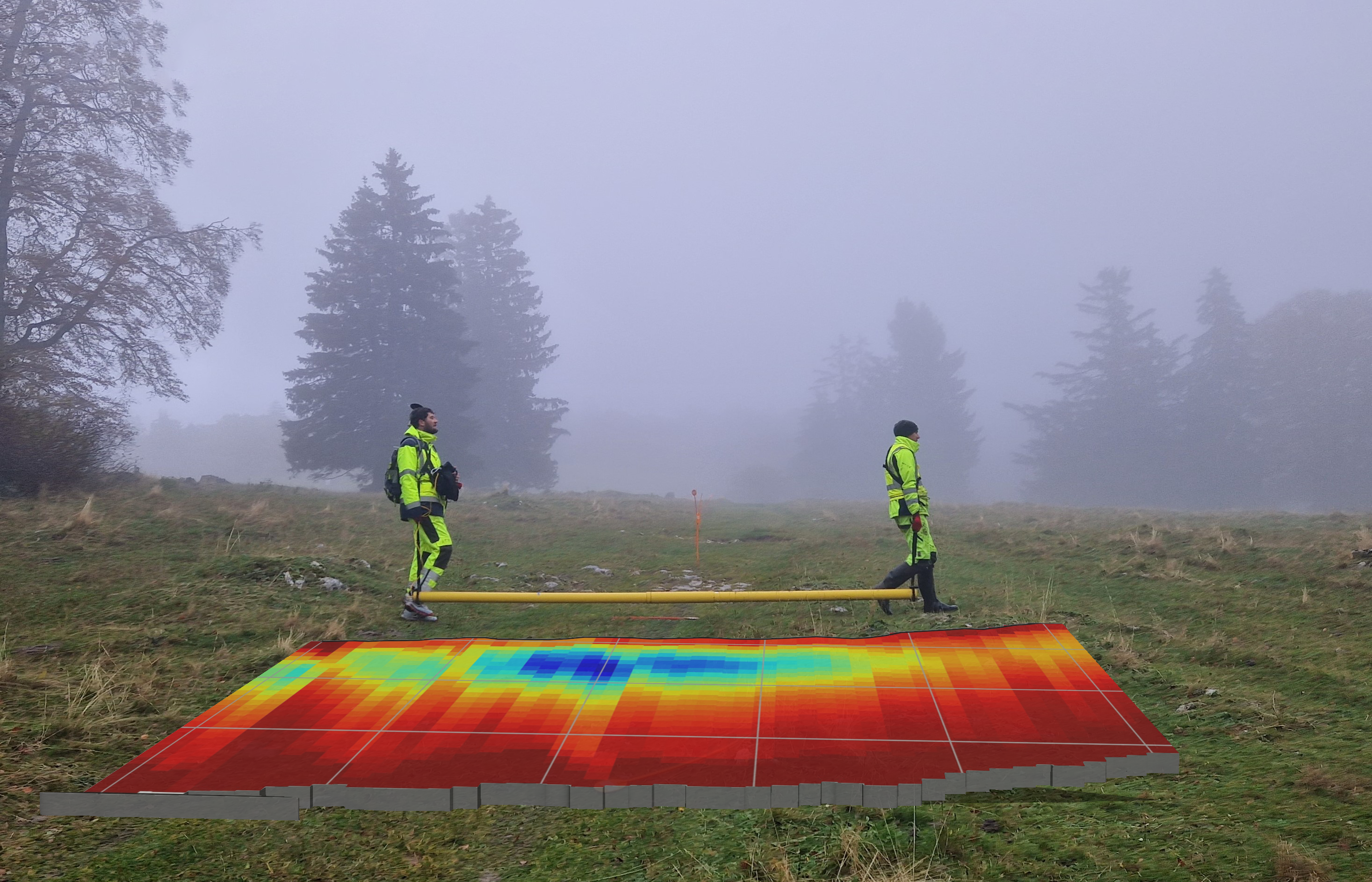
Acquisition is performed by moving the instrument on foot or on a cart. A primary field is generated by a coil. This induces a secondary field in the subsoil, proportional to the conductivity of the soil, which is detected by different coils in the instrument. The depth of the ground investigated depends on the distance between the coils and their orientation.
Our latest-generation equipment enables us to overcome one of the traditional limitations of EM, the restriction to a single depth of investigation per measurement. The sections obtained by these new instruments are constructed from the simultaneous measurement of 6 investigation depths (up to 6m)
This fast and efficient method is ideal to get a first hold on the shallow structures present in a wide area